Publications
Peer-reviewed
PDF
Jewell, M. E., Hutchings, J. K., and Geiger, C. A. (2023). Atmospheric highs drive asymmetric sea ice drift during lead opening from Point Barrow, The Cryosphere, 17, 3229–3250, https://doi.org/10.5194/tc-17-3229-2023
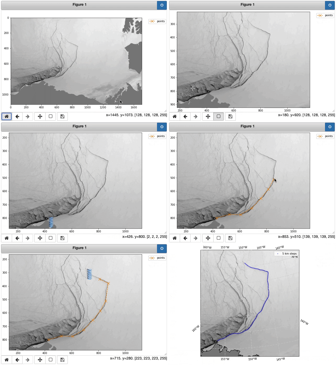
In this article, we use remotely sensed and reanalysis data to characterize recurrent sea ice fracturing events near Alaska's northernmost headland, Point Barrow, a hotspot for sea ice deformation in winter. We find these events occur under certain orientations of wind forcing relative to the Alaskan coast and produce anomalous patterns of sea ice motion that influence the circulation of sea ice in the Pacific Arctic.
Rheinlænder et al. (2022, https://doi.org/10.1029/2022GL099024) used a dynamic sea ice model to investigate the drivers of winter sea ice fracturing in the Beaufort Sea by simulating an exceptional breakout of pack ice that occurred in winter 2013. In this commentary of Rheinlænder et al. (2022), we compare 2013 to similar events in the satellite record to provide an observational perspective on the role of weather patterns in controlling Beaufort pack ice breakout events. We highlight the role of wind direction in controlling breakouts and demonstrate that record-setting persistent winds led to the major event in 2013.
Under review
PDF
Jewell, M. E., Hutchings, J. K., and Bliss, A. C. (2024). Spring 2021 sea ice transport in the southern Beaufort Sea occurred during coastal ice opening events, The Cryosphere, EGUsphere [preprint], https://doi.org/10.5194/egusphere-2024-1097
In this article, we characterized patterns of sea ice motion that occurred when coastal leads separated the Southern Beaufort Sea ice pack from its bounding coastlines in spring 2021. GPS tracker buoys showed that the majority (94%) of spring sea ice transport occurred during these events, despite spanning only half of the time. These results highlight the episodic nature of winter and spring ice trasnport in the region, related to episodic wind reversals and varying efficiencies of wind-to-ice momentum transfer depending on the direction of wind forcing.
Code
More...
